The Best Cliff Photo Spots around Big Sur in United States

Explore Cliff pictures of Big Sur with the travel spots on a map
14 Cliff Spots of Big Sur on a Map
Pictures of Cliff on the interacive map of Big Sur
Cliff Spots and Pictures around Big Sur
Discover popular destinations in Big Sur with their travel guides
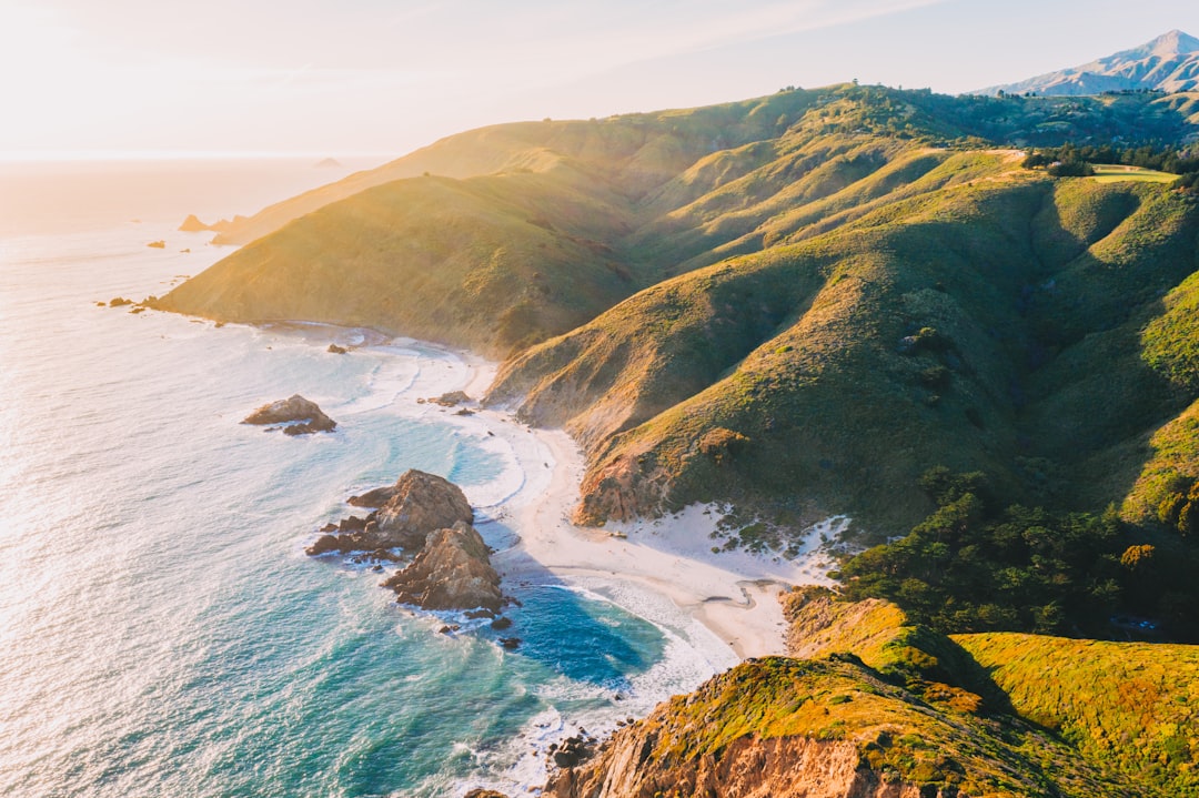
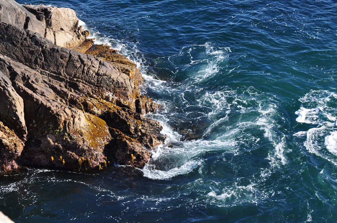
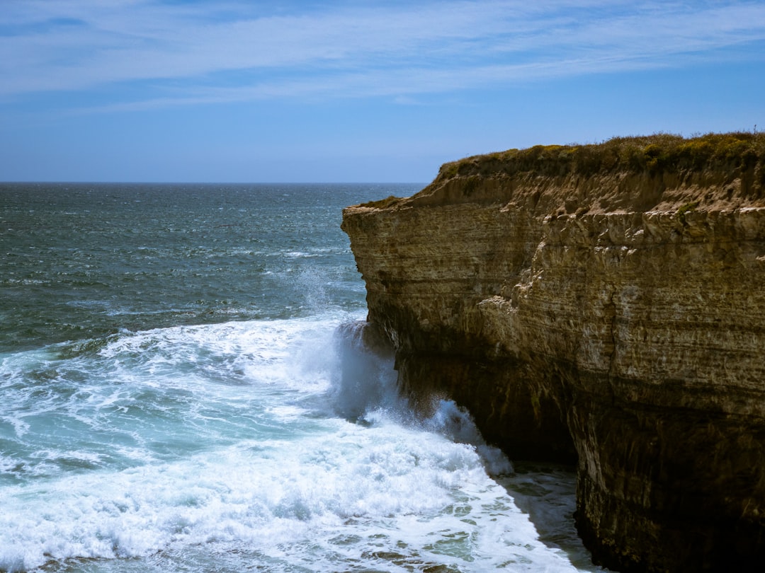
Bixby Creek Arch Bridge
Read the Travel guide View on Google Maps
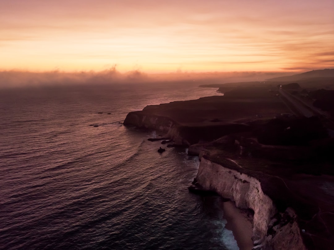
Julia Pfeiffer Burns State Park
Read the Travel guide View on Google Maps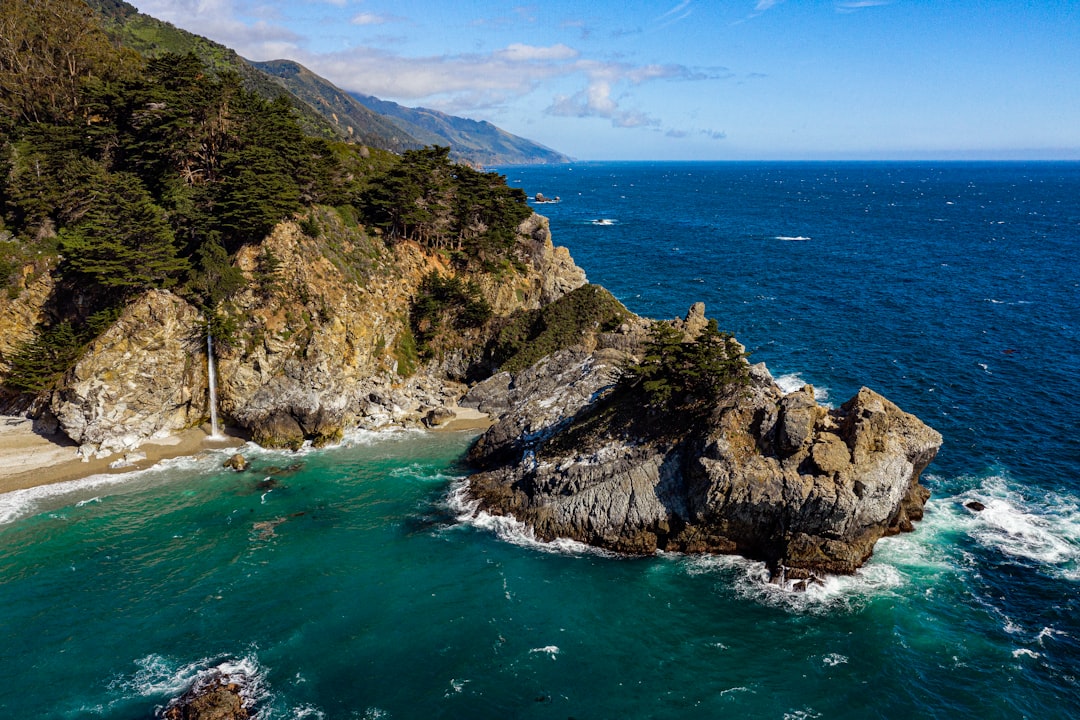
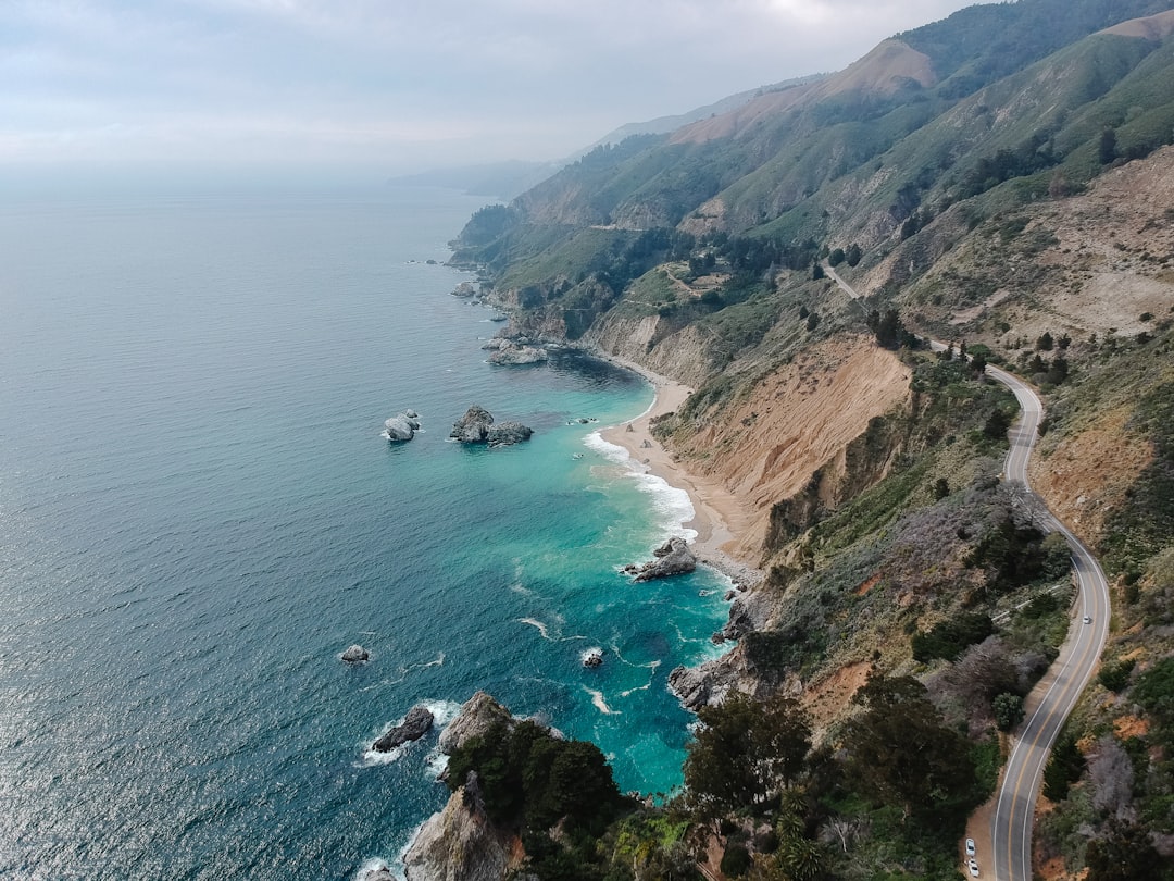
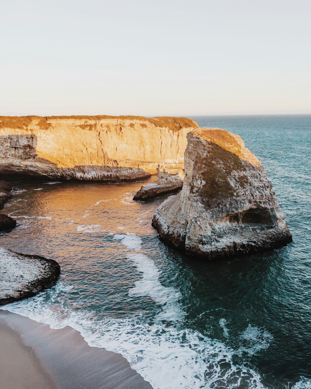
Big Creek Cove Vista Point
Read the Travel guide View on Google Maps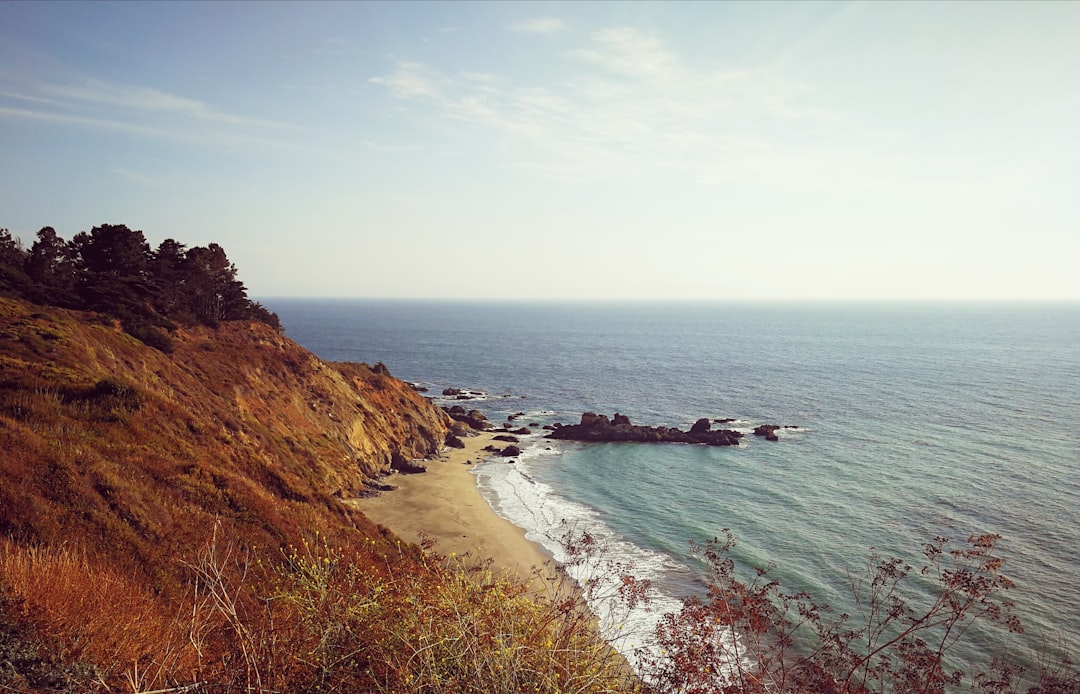
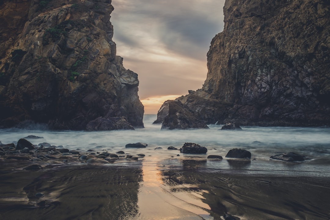
Pfeiffer Beach
17 km away from Big Sur
Read the Travel guide View on Google Maps
9100 Sycamore Canyon Rd
17 km away from Big Sur
Read the Travel guide View on Google Maps
Carmel Beach
20 km away from Big Sur
Read the Travel guide View on Google Maps
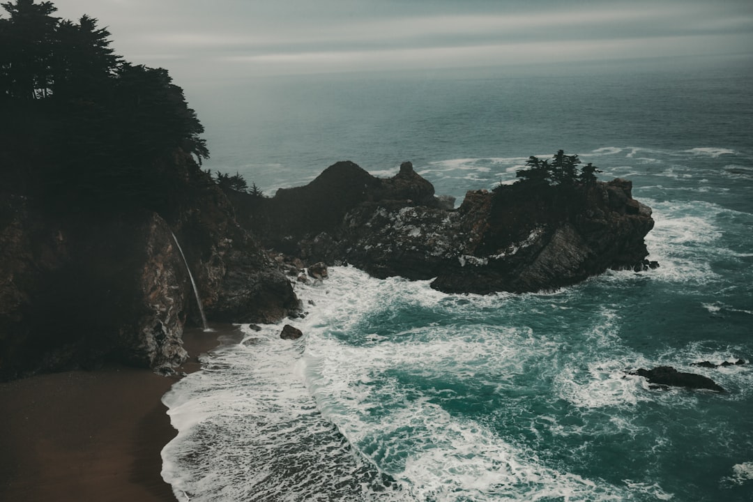
McWay Falls
31 km away from Big Sur
Read the Travel guide View on Google Maps
53132 CA-1
31 km away from Big Sur
Read the Travel guide View on Google Maps
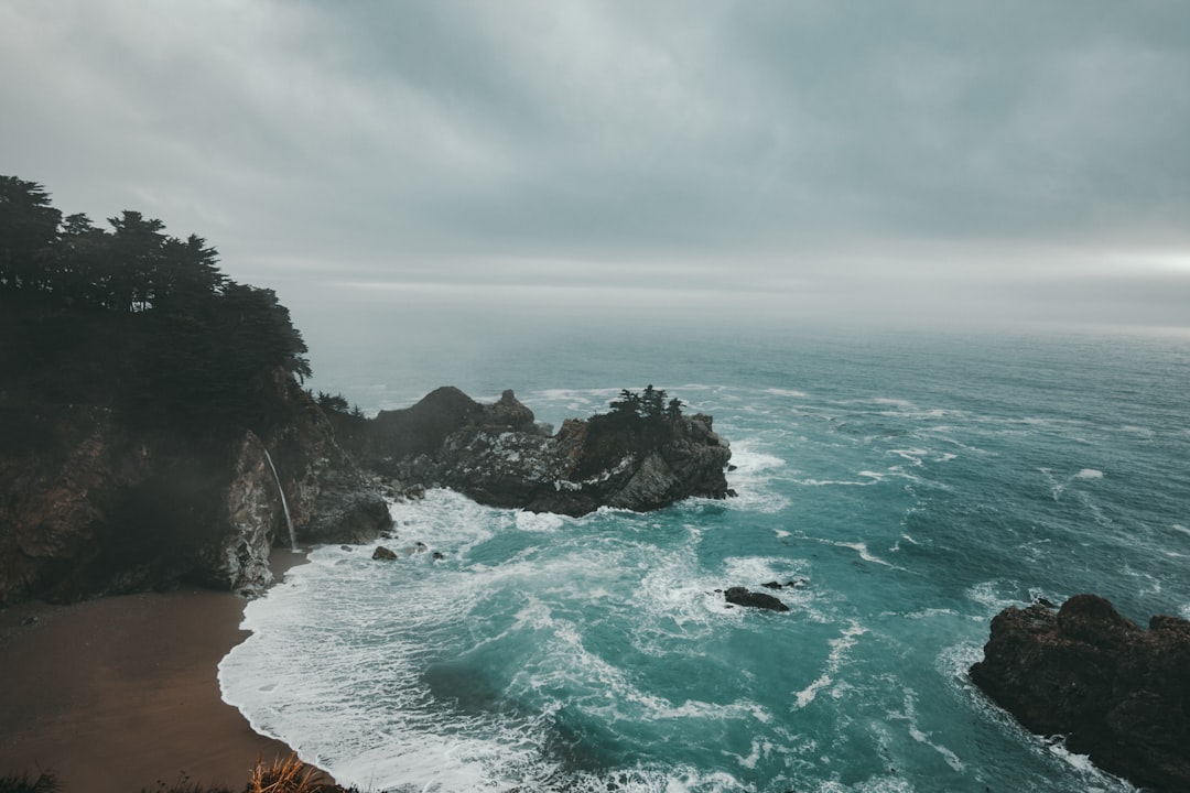
McWay Waterfall Trail
31 km away from Big Sur
Read the Travel guide View on Google Maps
59629 CA-1
44 km away from Big Sur
Read the Travel guide View on Google Maps
Santa Cruz
66 km away from Big Sur
Read the Travel guide View on Google Maps
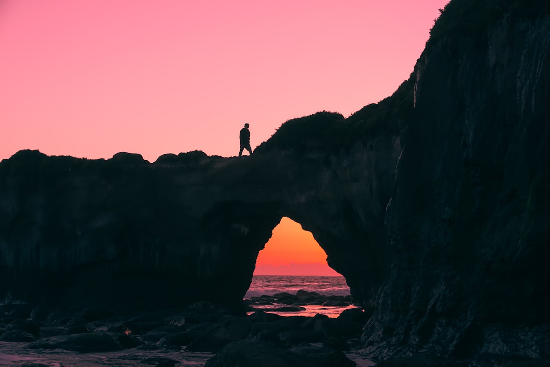
Shark Fin Cove
75 km away from Big Sur
Read the Travel guide View on Google Maps
9812 CA-1
76 km away from Big Sur
Read the Travel guide View on Google Maps
Book your Travel Experience in Big Sur
Discover the best tours and activities in Big Sur and book your travel experience today with our booking partners
Learn More about Big Sur
Find Hotels in Big Sur
Discover the best hotels around Big Sur, United States and book your stay today with our booking partner booking.com